Kumamap Kumamap Kumamap
Map Areas Trip Planner Sponsor Alerts Report
English 日本語 한국어 简体中文 繁體中文 ไทย
Sign in
Sign in
Map Areas Trip Planner Sponsor Alerts Report
English 日本語 한국어 简体中文 繁體中文 ไทย
  1. Home
  2. Akita
  3. Semboku

Official Black Bear Semboku, Akita Sep 30, 2024, 04:30 PM

0 views
Saw one too? Report it

Location

Description

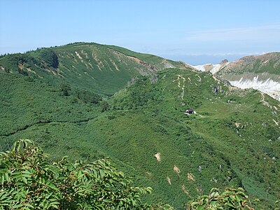
Post: It appears to be a cub. It was on the northbound side of the road; when approached by car, it fled into the grass on the north side.

Note: Official sources provide information in Japanese only. This description has been machine translated for your convenience.

Bear Type

Black Bear

Number of Bears

1

Provider Type

Official

Date & Time

Monday, September 30, 2024 at 04:30 PM

Address

Semboku, Akita

Coordinates

39.963263, 140.833606

Sources

https://kumadas.net

Related Areas

Akita
Very High Risk

Akita

23,135 incidents

Semboku
High Risk

Semboku

Akita

1,422 incidents

Akita-Yakeyama
Low Risk

Akita-Yakeyama

Akita

88 incidents

Mount Hachimantai
Low Risk

Mount Hachimantai

Iwate

86 incidents

Akita
Very High Risk

Akita

23,135 incidents

Semboku
High Risk

Semboku

Akita

1,422 incidents

Akita-Yakeyama
Low Risk

Akita-Yakeyama

Akita

88 incidents

Mount Hachimantai
Low Risk

Mount Hachimantai

Iwate

86 incidents

Nearby places of interest

Viewpoint 978 m

Oofuka Sawa Tenboudai

大深沢展望台

Akita ·3 incidents

Mountain 1.3 km

Tousuke Mori

藤助森

Akita ·22 incidents

Hotel 1.7 km

Oofuka Onsen

大深温泉

Akita ·19 incidents

Mountain 1.9 km

Hachimantai

Iwate ·15 incidents

Viewpoint 1.9 km

Hachimantai Choujou Tenboudai

八幡平頂上展望台

Iwate ·3 incidents

Mountain 2.6 km

Somakaku Yama

杣角山

Iwate ·10 incidents

Mountain 3.1 km

Genta Mori

源太森

Iwate ·6 incidents

Mountain 3.4 km

Mt. Mokko

Akita ·4 incidents

Comments (0)

0/2000

No comments yet.

Plan Your Trip Risk Map

Hiking in bear country

Safety picks and trail essentials, top-rated on Amazon and Rakuten.

Nearby Incidents

Official

Semboku, Akita

492 m

1 year ago

Official

Semboku, Akita

1.1 km

2 years ago

Senboku, Akita
Official

Senboku, Akita

1.8 km

2 weeks ago

Official

Kazuno, Akita

2.0 km

11 months ago

Official

Hachimantai, Iwate

2.3 km

10 years ago

Official

Semboku, Akita

2.5 km

3 years ago

Official

Kazuno, Akita

2.9 km

3 years ago

Official

Semboku, Akita

3.0 km

3 years ago

Official

Semboku, Akita

492 m

1 year ago

Official

Semboku, Akita

1.1 km

2 years ago

Senboku, Akita
Official

Senboku, Akita

1.8 km

2 weeks ago

Official

Kazuno, Akita

2.0 km

11 months ago

Official

Hachimantai, Iwate

2.3 km

10 years ago

Official

Semboku, Akita

2.5 km

3 years ago

Official

Kazuno, Akita

2.9 km

3 years ago

Official

Semboku, Akita

3.0 km

3 years ago

Kumamap Kumamap

Track bear incidents across Japan. Stay safe outdoors.

Explore

Map Account Areas Places of Interest Predictions Near Me Trip Planner Trip Reports Community Alerts Gear

Learn

Bear Safety Guides Blog News Data FAQ

Mobile

iOS App Android App LINE WhatsApp

Company

About Contact Report Sponsor

Legal

Privacy Terms Commercial Disclosure
© 2026 Kumamap