
Location
Description
[Post] While driving Route 285 toward Gojome, spotted a small black lump on the right-side (mountain side) sidewalk; likely a cub. It moved quickly along the rice field dike toward the distant mountains.
Note: Official sources provide information in Japanese only. This description has been machine translated for your convenience.
Bear Type
Black Bear
Number of Bears
1
Provider Type
Official
Date & Time
Saturday, May 31, 2025 at 02:40 PM
Address
Kamikoani Sugihana, Akita
Coordinates
40.069271, 140.301570
Sources
Related Areas

Nearby places of interest
Community Centre 348 m
Sugi Hana Kouryuu Sentaa
杉花交流センター
Akita ·65 incidents
Shrine or Temple 360 m
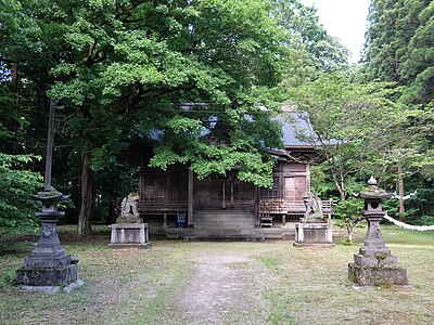
Sugi Kashin Sha
杉花神社
Akita ·65 incidents
Community Centre 361 m
Dou Kawa Kouminkan
堂川公民館
Akita ·57 incidents
Shrine or Temple 480 m
Joukou Tera
常光寺
Akita ·64 incidents
Shrine or Temple 567 m
Atago Jinja
愛宕神社
Akita ·40 incidents
Community Centre 635 m
Hoken Sentaa
保健センター
Akita ·60 incidents
Park 689 m
Kamikoani Mura Furusato Kouen
上小阿仁村ふるさと公園
Akita ·48 incidents
Hotel 936 m
Koaniteii
コアニティー
Akita ·78 incidents
Comments (0)
No comments yet.
Hiking in bear country
Safety picks and trail essentials, top-rated on Amazon and Rakuten.