Location
Description
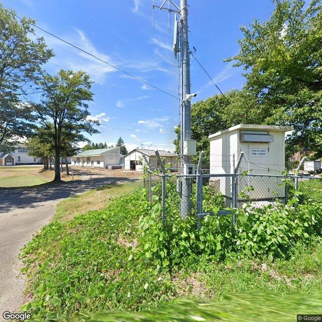
A surveillance camera at the Asakura water level observation station near Otorii Bridge captured one bear of unknown length moving downstream along the Yokote River.
Note: Official sources provide information in Japanese only. This description has been machine translated for your convenience.
Bear Type
Black Bear
Number of Bears
1
Provider Type
Official
Date & Time
Friday, May 29, 2026 at 03:50 AM
Address
Yokote Yawata, Akita
Coordinates
39.327212, 140.560568
Sources
Related Areas

Nearby places of interest
School 116 m
Yokote Municipal Asakura Elementary School
Akita ·184 incidents
Park 215 m
Hachiman Ta Kouen
八幡田公園
Akita ·85 incidents
Shrine or Temple 225 m
Ootori Iyama Jinja
大鳥井山神社
Akita ·198 incidents
Shrine or Temple 335 m
Ootorijinja
大鳥神社
Akita ·200 incidents
Park 344 m
Ootori Kouen
大鳥公園
Akita ·133 incidents
Community Centre 398 m
Ikari Chounaikai Kan
碇町内会館
Akita ·186 incidents
Shrine or Temple 405 m
Toyosato Jinja
豊郷神社
Akita ·186 incidents
Community Centre 432 m
Asakura Chiku Kouryuu Sentaa Asakura Kan
朝倉地区交流センター あさくら館
Akita ·182 incidents
Comments (0)
No comments yet.
Hiking in bear country
Safety picks and trail essentials, top-rated on Amazon and Rakuten.


