Official Black Bear Oda Sanbecho-Tane, Shimane Jul 11, 2025, 08:50 PM
0 views
Location
Description
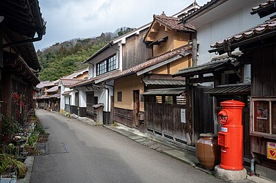
July 11, 2025, around 8:50 p.m., one bear on the prefectural road beside Kita-Sanbe Town’s Machizukuri Center Tane Branch in Ōta City. Body length about 1 m
Note: Official sources provide information in Japanese only. This description has been machine translated for your convenience.
Bear Type
Black Bear
Number of Bears
1
Provider Type
Official
Date & Time
Friday, July 11, 2025 at 08:50 PM
Address
Oda Sanbecho-Tane, Shimane
Coordinates
35.171143, 132.600550
Related Areas
Nearby places of interest
Community Centre 285 m
Oota Shi Kita Sanbe Machizukuri Sentaa Tane Bunkan
大田市北三瓶まちづくりセンター多根分館
Shimane ·2 incidents
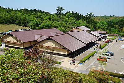
Museum 644 m
Sanbe Azukihara Buried Forest Museum
Shimane ·2 incidents
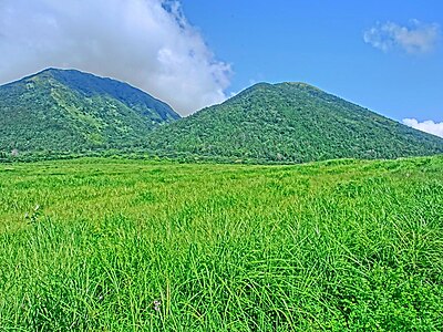
Mountain 3.9 km
O-Sanbe San
Shimane ·17 incidents
Volcano 4.6 km
Mt. Sanbe
Shimane ·17 incidents
Mountain 4.8 km
Mt. Ko-Sanbe
Shimane ·18 incidents
Mountain 5.0 km
Mt. Me-Sanbe
Shimane ·15 incidents
Comments (0)
No comments yet.
Hiking in bear country
Safety picks and trail essentials, top-rated on Amazon and Rakuten.


