Kumamap Kumamap Kumamap
Map Areas Trip Planner Sponsor Alerts Report
English 日本語 한국어 简体中文 繁體中文 ไทย
Sign in
Sign in
Map Areas Trip Planner Sponsor Alerts Report
English 日本語 한국어 简体中文 繁體中文 ไทย
  1. Home
  2. Fukushima
  3. Koriyama
Incident photo 1

Official Black Bear Koriyama, Fukushima Dec 19, 2025, 06:30 PM

0 views
Saw one too? Report it

Location

Description

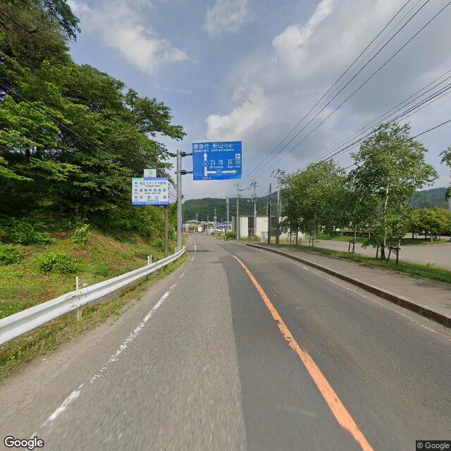
Posted: Around 6:30 PM on Friday, December 19, in Koriyama City, Konan Town, Sanda Kyōzuka area; a male in his 50s driving saw one bear about 1.5 m long cross National Route 294 from north to south, after which the bear went into the bushes.

Note: Official sources provide information in Japanese only. This description has been machine translated for your convenience.

Bear Type

Black Bear

Number of Bears

1

Provider Type

Official

Date & Time

Friday, December 19, 2025 at 06:30 PM

Address

Koriyama, Fukushima

Coordinates

37.382676, 140.114407

Sources

https://www.rfc.jp/kuma/

Related Areas

Fukushima
Very High Risk

Fukushima

5,995 incidents

Lake Inawashiro
Very High Risk

Lake Inawashiro

Fukushima

1,578 incidents

Koriyama
Moderate Risk

Koriyama

Fukushima

382 incidents

Fukushima
Very High Risk

Fukushima

5,995 incidents

Lake Inawashiro
Very High Risk

Lake Inawashiro

Fukushima

1,578 incidents

Koriyama
Moderate Risk

Koriyama

Fukushima

382 incidents

Nearby places of interest

School 102 m

Kouriyama Shiritsu Konan Shouchuugakkou

郡山市立湖南小中学校

Fukushima ·4 incidents

Mountain 962 m

Takamori Yama

高森山

Fukushima ·26 incidents

Mountain 2.4 km

I Ra Takusan

伊羅沢山

Fukushima ·17 incidents

Mountain 3.6 km

Kurio Yama

栗生山

Fukushima ·27 incidents

Mountain 4.8 km

Iwakami Yama

岩上山

Fukushima ·23 incidents

Comments (1)

0/2000

Lorelei NeutralLisa Wischofskyhttps://www.figma.com/community/file/1198749693280469639https://creativecommons.org/publicdomain/zero/1.0/Remix of „Lorelei Neutral” (https://www.figma.com/community/file/1198749693280469639) by „Lisa Wischofsky”, licensed under „CC0 1.0” (https://creativecommons.org/publicdomain/zero/1.0/)
橋本さとし 6 months ago

国道294号を横切るって、相当人通りのある場所だったんじゃないか。

Plan Your Trip Risk Map

Hiking in bear country

Safety picks and trail essentials, top-rated on Amazon and Rakuten.

Nearby Incidents

Koriyama, Fukushima
Official

Koriyama, Fukushima

111 m

6 months ago

Official

Kōriyama, Fukushima

402 m

2 years ago

Official

Kōriyama 湖南町三代, Fukushima

861 m

1 year ago

Official

Koriyama 湖南町福良, Fukushima

1.8 km

2 months ago

Official

Koriyama 湖南町舘, Fukushima

2.0 km

7 months ago

News

Nakanosuwamae, Konan Town, Koriyama City, Fukushima

2.0 km

8 months ago

Koriyama 湖南町舘, Fukushima
Official

Koriyama 湖南町舘, Fukushima

2.1 km

7 months ago

Koriyama 湖南町福良, Fukushima
News

Koriyama 湖南町福良, Fukushima

2.3 km

2 months ago

Koriyama, Fukushima
Official

Koriyama, Fukushima

111 m

6 months ago

Official

Kōriyama, Fukushima

402 m

2 years ago

Official

Kōriyama 湖南町三代, Fukushima

861 m

1 year ago

Official

Koriyama 湖南町福良, Fukushima

1.8 km

2 months ago

Official

Koriyama 湖南町舘, Fukushima

2.0 km

7 months ago

News

Nakanosuwamae, Konan Town, Koriyama City, Fukushima

2.0 km

8 months ago

Koriyama 湖南町舘, Fukushima
Official

Koriyama 湖南町舘, Fukushima

2.1 km

7 months ago

Koriyama 湖南町福良, Fukushima
News

Koriyama 湖南町福良, Fukushima

2.3 km

2 months ago

Kumamap Kumamap

Track bear incidents across Japan. Stay safe outdoors.

Explore

Map Account Areas Places of Interest Predictions Near Me Trip Planner Trip Reports Community Alerts Gear

Learn

Bear Safety Guides Blog News Data FAQ

Mobile

iOS App Android App LINE WhatsApp

Company

About Contact Report Sponsor

Legal

Privacy Terms Commercial Disclosure
© 2026 Kumamap