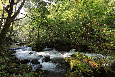
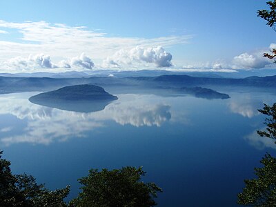
Location
Description
On National Route, about 1.5 m long; stood up and walked away toward the northeast.
Note: Official sources provide information in Japanese only. This description has been machine translated for your convenience.
Bear Type
Black Bear
Number of Bears
1
Provider Type
Official
Date & Time
Friday, June 28, 2024 at 07:25 AM
Address
Kosaka, Akita
Coordinates
40.417899, 140.857560
Sources
Related Areas

Nearby places of interest
Campground 938 m
Towadako Oide Kyanpu Ba
十和田湖生出キャンプ場
Akita ·31 incidents
Campground 986 m
Oide camping ground
Akita ·31 incidents
Viewpoint 1.1 km
Shimei Tei Tenboudai
紫明亭展望台
Akita ·31 incidents
Mountain 1.8 km
Gentōgura
Akita ·65 incidents
Mountain 3.6 km
Mt. Akaiwa
Akita ·83 incidents
Mountain 3.9 km
Sasamori
笹森
Akita ·52 incidents
Cape 3.9 km
Chizuru Saki
千鶴崎
Aomori ·81 incidents
Mountain 4.0 km
Ao Sama Yama
青様山
Akita ·57 incidents
Comments (0)
No comments yet.
Hiking in bear country
Safety picks and trail essentials, top-rated on Amazon and Rakuten.