Official Black Bear Hachinohe Nango-Shimamori, Aomori Jun 8, 2026, 11:35 PM
0 views
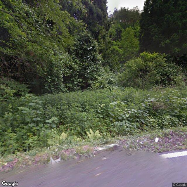
Location
Description
No information
Note: Official sources provide information in Japanese only. This description has been machine translated for your convenience.
Bear Type
Black Bear
Number of Bears
1
Provider Type
Official
Date & Time
Monday, June 8, 2026 at 11:35 PM
Address
Hachinohe Nango-Shimamori, Aomori
Coordinates
40.398914, 141.496020
Related Areas

Comments (0)
No comments yet.
Hiking in bear country
Safety picks and trail essentials, top-rated on Amazon and Rakuten.
