Kumamap Kumamap Kumamap
Map Areas Trip Planner Sponsor Alerts Report
English 日本語 한국어 简体中文 繁體中文 ไทย
Sign in
Sign in
Map Areas Trip Planner Sponsor Alerts Report
English 日本語 한국어 简体中文 繁體中文 ไทย
  1. Home
  2. Fukushima
  3. Fukushima
Incident photo 1

Official Black Bear Fukushima, Fukushima May 31, 2026, 09:30 PM

0 views
Saw one too? Report it

Location

Description

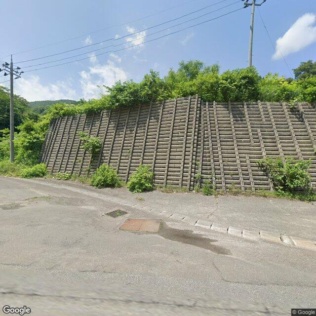
On June 1 (Monday) at around 6:30 a.m., near the entrance on the Fukushima Prefecture side of the Higashikuriko Tunnel on National Route 13 in Nakano, Iizaka Town, Fukushima City, a witness (male, in his 60s) spotted one bear (approximately 1 m in length) at the roadside while driving.

Note: Official sources provide information in Japanese only. This description has been machine translated for your convenience.

Bear Type

Black Bear

Number of Bears

1

Provider Type

Official

Date & Time

Sunday, May 31, 2026 at 09:30 PM

Address

Fukushima, Fukushima

Coordinates

37.837760, 140.299339

Sources

https://www.rfc.jp/spe/kuma/

Related Areas

Fukushima
Very High Risk

Fukushima

6,020 incidents

Fukushima Prefectural Museum of Art
High Risk

Fukushima Prefectural Museum of Art

Fukushima

1,310 incidents

Iizaka Onsen
High Risk

Iizaka Onsen

Fukushima

1,170 incidents

Fukushima
High Risk

Fukushima

Fukushima

1,129 incidents

Fukushima
Very High Risk

Fukushima

6,020 incidents

Fukushima Prefectural Museum of Art
High Risk

Fukushima Prefectural Museum of Art

Fukushima

1,310 incidents

Iizaka Onsen
High Risk

Iizaka Onsen

Fukushima

1,170 incidents

Fukushima
High Risk

Fukushima

Fukushima

1,129 incidents

Nearby places of interest

Mountain 1.2 km

Budou Takusan

葡萄沢山

Fukushima ·30 incidents

Mountain 4.0 km

Kui Kouzan

杭甲山

Fukushima ·18 incidents

Mountain 4.8 km

Hachi Moriyama

鉢森山

Yamagata ·41 incidents

Mountain 4.8 km

Kuriko Yama

Fukushima ·18 incidents

Mountain 1.2 km

Budou Takusan

葡萄沢山

Fukushima ·30 incidents

Mountain 4.0 km

Kui Kouzan

杭甲山

Fukushima ·18 incidents

Mountain 4.8 km

Hachi Moriyama

鉢森山

Yamagata ·41 incidents

Mountain 4.8 km

Kuriko Yama

Fukushima ·18 incidents

Comments (0)

0/2000

No comments yet.

Plan Your Trip Risk Map

Hiking in bear country

Safety picks and trail essentials, top-rated on Amazon and Rakuten.

Nearby Incidents

Official

Fukushima, Fukushima

50 m

0 years ago

Official

Fukushima, Fukushima

2.3 km

1 year ago

Official

Fukushima, Fukushima

2.6 km

1 year ago

Official

Fukushima, Fukushima

2.6 km

2 years ago

Official

Fukushima, Fukushima

2.6 km

1 year ago

Official

Fukushima, Fukushima

2.7 km

1 year ago

Community

Fukushima, Fukushima

2.7 km

6 months ago

Official

Fukushima, Fukushima

2.7 km

1 year ago

Official

Fukushima, Fukushima

50 m

0 years ago

Official

Fukushima, Fukushima

2.3 km

1 year ago

Official

Fukushima, Fukushima

2.6 km

1 year ago

Official

Fukushima, Fukushima

2.6 km

2 years ago

Official

Fukushima, Fukushima

2.6 km

1 year ago

Official

Fukushima, Fukushima

2.7 km

1 year ago

Community

Fukushima, Fukushima

2.7 km

6 months ago

Official

Fukushima, Fukushima

2.7 km

1 year ago

Kumamap Kumamap

Track bear incidents across Japan. Stay safe outdoors.

Explore

Map Account Areas Places of Interest Predictions Near Me Trip Planner Trip Reports Community Alerts Gear

Learn

Bear Safety Guides Blog News Data FAQ

Mobile

iOS App Android App LINE WhatsApp

Company

About Contact Report Sponsor

Legal

Privacy Terms Commercial Disclosure
© 2026 Kumamap