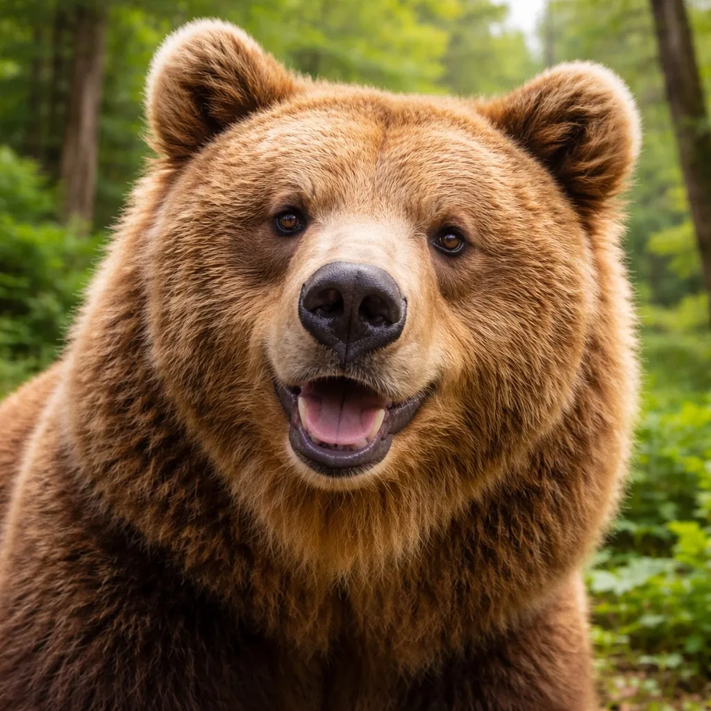
홋카이도 불곰
Ursus arctos yesoensis
- 서식지
- 홋카이도
- 몸무게
- 200~400 kg
- 활동 시간
- 새벽・황혼
안전하게 공존하기
- ·걸으면서 소리를 내어 존재를 알린다
- ·곰 격퇴 스프레이를 휴대; 돌진 시 5m 거리에서 분사
- ·접촉 시 엎드려 손깍지로 목 뒤를 보호한다. 움직임이 멈추면 대개 떠난다
- ·뛰지 말고 나무에도 오르지 말 것
새로운 여행 계획으로 저장됩니다. 원본 리포트는 그대로 유지됩니다.
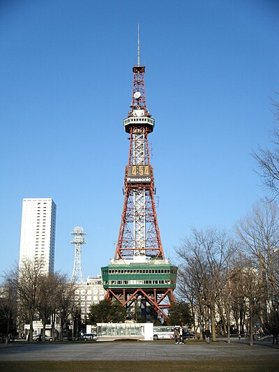
Hitsujigaoka Observation Hill에서 삿포로 TV타워까지, 홋카이도 안을 지나는 총 9.1 km 경로입니다. 지난 30일 동안 경로 5km 이내에서 곰 출몰이 7건 보고되었습니다. 이 중 최근 7일 동안의 보고는 1건입니다. 가장 최근 출몰은 6일 전 Sapporo Hitsujigaoka, Hokkaido 부근에서 보고되었습니다.
활동이 이렇게 가까이 있으니 걸으면서 소리를 내고, 곰 스프레이를 휴대하며, 새벽과 해질녘 숲은 피하세요.
[No.38] Thursday, July 2, 2026: Location: Near 7-1 Hitsujigaoka, Toyohira Ward Description: Brown bear sighted Address: https://www.google.com/maps?q=42.987397,141.392806
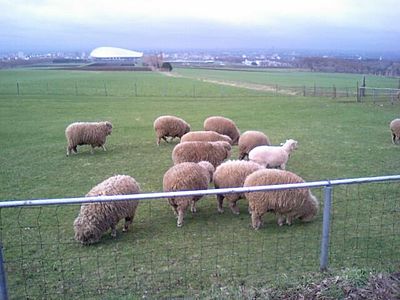
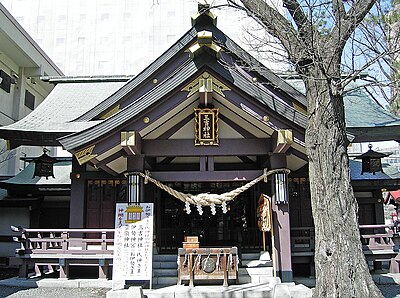
Sapporo Hitsujigaoka, Hokkaido
After descending Mount Moiwa and heading toward Yamanohana between the 6th and 5th stations, a black cub about 50 cm long was hiding in the sasa grass. The black fur on its ears was fluffy. The bear stayed still. I was too scared to take a photo at the time—seriously. But thinking back now, I found the fluffiness kind of cute.
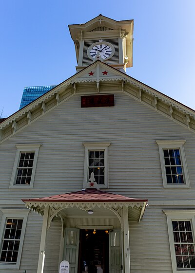
Sapporo Moiwayama, Hokkaido
[Growling] Mount Moiwa summit → On the way toward the horse’s back ridge: on the switchback path leading from the summit (around where a Jizo statue stands), when the people ahead became spaced out, I heard a growling sound about three times.
Sapporo Moiwayama, Hokkaido

Report No. 24 — June 13, 2026 (Saturday): Location: Near 1 Hitsujigaoka, Toyohira Ward. Description: Brown bear confirmed on camera. Address: https://www.google.com/maps?q=43.005025,141.420409
Sapporo Hitsujigaoka, Hokkaido

Around 6:50 PM on 2026-06-09, a junior high school boy saw three brown bears on a city road in Maruyama Nishi 2, Chuo Ward, Sapporo.
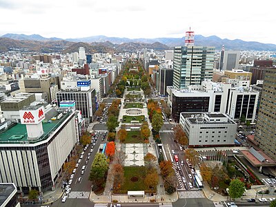
Sapporo Maruyama-Nishimachi, Hokkaido

[No.22] Tuesday, June 9, 2026: Location: Near 1-jo 16-chome 1, Miyanomori, Chuo Ward Description: Sighted brown bears (3 individuals) Address: https://www.google.com/maps?q=43.044131,141.296852
Sapporo Miyanomori, Hokkaido

Three brown bears were spotted on a road in Maruyama Nishi-machi 2-chome, Chuo Ward, Sapporo, and disappeared into the bushes after a car honked.
Sapporo Maruyama-Nishimachi, Hokkaido
8:00에 피크 활동, 1건의 출몰
Ursus arctos yesoensis
Amazon·Rakuten 고평점 제품에서 엄선한 곰 대비와 등산 장비.
산악 구조는 110번(경찰)에 전화하세요. 지역 구조대와 협력합니다.
아직 댓글이 없습니다.
지난 30일 동안 경로 5km 이내에서 곰 출몰이 7건 보고되었습니다. 이 중 최근 7일 동안의 보고는 1건입니다.
가장 최근 출몰은 6일 전 Sapporo Hitsujigaoka, Hokkaido 부근에서 보고되었습니다.
이 경로의 최근 목격은 8시경에 절정입니다. 곰은 일반적으로 새벽과 해질녘에 가장 활발합니다.
Hitsujigaoka Observation Hill에서 삿포로 TV타워까지, 홋카이도 안을 지나는 총 9.1 km 경로입니다. 지난 30일 동안 경로 5km 이내에서 곰 출몰이 7건 보고되었습니다. 이 중 최근 7일 동안의 보고는 1건입니다. 가장 최근 출몰은 6일 전 Sapporo Hitsujigaoka, Hokkaido 부근에서 보고되었습니다. 활동이 이렇게 가까이 있으니 걸으면서 소리를 내고, 곰 스프레이를 휴대하며, 새벽과 해질녘 숲은 피하세요.
