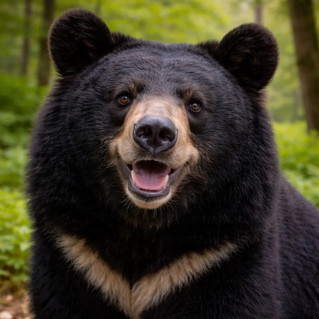


หมีสีน้ำตาลฮอกไกโด
Ursus arctos yesoensis
- แหล่งที่อยู่
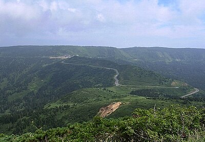
- ฮอกไกโด
- น้ำหนัก
- 200–400 กก.
- ช่วงเวลาที่กระตือรือร้น
- รุ่งสาง / ค่ำ
อยู่ร่วมกันอย่างปลอดภัย
- ·ส่งเสียงขณะเดินเพื่อให้หมีรู้ตัว
- ·พกสเปรย์ไล่หมี; พ่นที่ระยะ 5 ม. หากถูกพุ่งใส่
- ·หากสัมผัส: นอนคว่ำ ประสานมือไว้หลังคอ หมีมักจะถอยเมื่อคุณหยุดเคลื่อนไหว
- ·อย่าวิ่ง อย่าปีนต้นไม้