
Location
Description
[Report] A bear (1 m) crossed the rice field and climbed the mountain to the north along the farm road.
Note: Official sources provide information in Japanese only. This description has been machine translated for your convenience.
Bear Type
Black Bear
Number of Bears
1
Provider Type
Official
Date & Time
Wednesday, May 13, 2026 at 09:00 AM
Address
Akita, Akita
Coordinates
39.601902, 140.214890
Sources
Related Areas

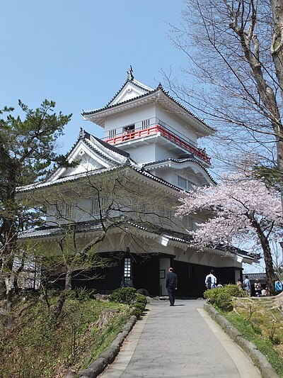
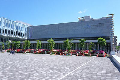
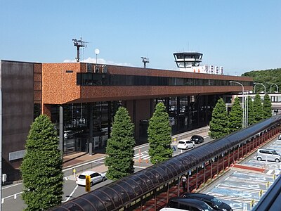
Nearby places of interest
Shrine or Temple 263 m
Shirahata Jinja
白幡神社
Akita ·42 incidents
Shrine or Temple 579 m
Soutou Shuu Matsu Ren Tera
曹洞宗 松連寺
Akita ·30 incidents
Shrine or Temple 913 m
Oohira Yamahira O Tori Jinja
大平山平尾鳥神社
Akita ·38 incidents
Museum 1.2 km
Minnanohiroba Kuu
みんなのひろば くぅ
Akita ·36 incidents
Community Centre 1.3 km
Hirao Tori Kaikan
平尾鳥会館
Akita ·16 incidents
Airport 1.4 km
Akita Airport
Akita ·421 incidents
Mountain 2.2 km
Nukazuka Yama
糠塚山
Akita ·504 incidents
Mountain 4.7 km
Okada Yama
岡田山
Akita ·205 incidents
Comments (0)
No comments yet.
Hiking in bear country
Safety picks and trail essentials, top-rated on Amazon and Rakuten.


