Location
Description
Moving toward Kita-Shiobara Village, observed one bear about 1.5 m in the western hillside forest eating berries or nuts.
Note: Official sources provide information in Japanese only. This description has been machine translated for your convenience.
Bear Type
Black Bear
Number of Bears
1
Provider Type
Official
Date & Time
Wednesday, May 25, 2022 at 07:06 AM
Address
Bandai, Fukushima
Coordinates
37.603153, 140.044867
Related Areas


Nearby places of interest
Attraction 1.3 km
Happodai Trailhead
Fukushima ·10 incidents
Mountain 1.7 km
Nekomagatake
Fukushima ·46 incidents
Hot Spring Source 1.8 km
Nakanoyu Ruins
Fukushima ·10 incidents
Mountain 2.4 km
Umaya Dakeyama
厩岳山
Fukushima ·63 incidents
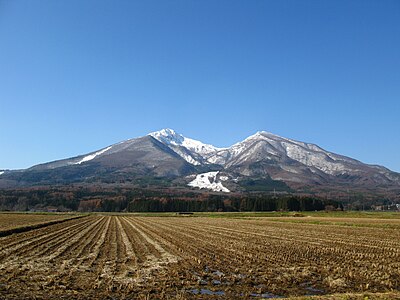
Volcano 2.4 km
Mt. Bandai
Fukushima ·118 incidents
Mountain 3.6 km
Kojou Ke Mine
古城ヶ峰
Fukushima ·53 incidents
Mountain 3.6 km
Kushi Ke Mine
櫛ヶ峰
Fukushima ·133 incidents
Mountain 3.8 km
Akahaniyama
Fukushima ·139 incidents
Comments (0)
No comments yet.
Hiking in bear country
Safety picks and trail essentials, top-rated on Amazon and Rakuten.
