Location
Description
Around 6:20 a.m. on June 17, on a sidewalk in the Nakaba area of Bandai Town, a male witness driving observed a bear about 1 m on the sidewalk. The bear moved southwestward and its subsequent movements are unknown.
Note: Official sources provide information in Japanese only. This description has been machine translated for your convenience.
Bear Type
Black Bear
Number of Bears
1
Provider Type
Official
Date & Time
Tuesday, June 17, 2025 at 06:20 AM
Address
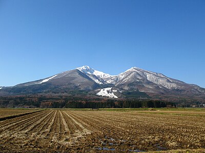
Bandai, Fukushima
Coordinates
37.560427, 139.980280
Sources
Related Areas


Nearby places of interest
Shrine or Temple 662 m
Sanshin Sha
山神社
Fukushima ·59 incidents
Shrine or Temple 1.1 km
Enichi Tera ( Fukugen )
慧日寺(復元)
Fukushima ·24 incidents
Shrine or Temple 1.1 km
Niou Mon
仁王門
Fukushima ·24 incidents
Train Station 1.2 km
Bandai-machi
Fukushima ·91 incidents
Shrine or Temple 1.3 km
Bandai Jinja
磐梯神社
Fukushima ·18 incidents
Shrine or Temple 1.4 km
Inari Jinja
稲荷神社
Fukushima ·54 incidents
Shrine or Temple 1.5 km
Jinmei Jinja
神明神社
Fukushima ·50 incidents
Mountain 2.2 km
Hayama
羽山
Fukushima ·227 incidents
Comments (0)
No comments yet.
Hiking in bear country
Safety picks and trail essentials, top-rated on Amazon and Rakuten.