Location
Description
Around 4:45 PM on October 7, in Otama Village Tamai, in a residential yard, a returning witness saw two bears (one about 1 m, the other about 60 cm) in the yard climbing a tree and eating fruit.
Note: Official sources provide information in Japanese only. This description has been machine translated for your convenience.
Bear Type
Black Bear
Number of Bears
2
Provider Type
Official
Date & Time
Tuesday, October 7, 2025 at 04:45 PM
Address
Otama 長久保, Fukushima
Coordinates
37.588865, 140.333823
Sources
Related Areas

Nearby places of interest
Shrine or Temple 1.0 km
Endou Ke Taki Fudou Mikoto
遠藤ヶ滝不動尊
Fukushima ·5 incidents
Waterfall 1.7 km
Endou Ke Taki
遠藤ヶ滝
Fukushima ·19 incidents
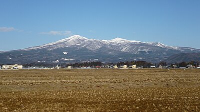
Mountain 2.9 km
Komae Ke Gaku
小前ヶ岳
Fukushima ·73 incidents
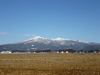
Mountain 3.4 km
Mae Ke Gaku
前ヶ岳
Fukushima ·54 incidents
Mountain 3.7 km
Odaka Kurayama
小高倉山
Fukushima ·90 incidents
Mountain 3.8 km
Yakushidake
薬師岳
Fukushima ·83 incidents
Mountain 4.3 km
Mt. Oshou
Fukushima ·48 incidents
Mountain 4.5 km
San Tsu Moriyama
三ツ森山
Fukushima ·96 incidents
Comments (0)
No comments yet.
Hiking in bear country
Safety picks and trail essentials, top-rated on Amazon and Rakuten.