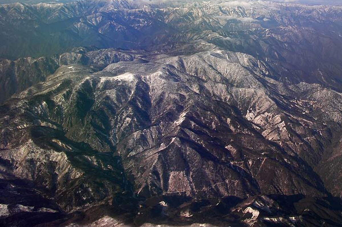
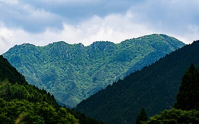
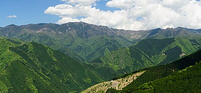
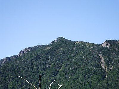
Mountains & Hiking · Mie
Mount Ōdaigahara Black Bear Incidents
Black Bear sighting and incident data compiled from official government records, news outlets, and community reports.
Latest Bear Activity in Mount Ōdaigahara
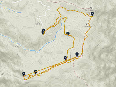
Mount Ōdaigahara had a Black Bear report in Kamikitayama Kawai on July 27, 2026. There were 6 incidents in the past 30 days, including 1 in the past 7 days. Reports are at the same level as the previous week. Recent reports include Kamikitayama Kawai and Kamikitayama. The area has 32 recorded incidents in total.
Sponsor the Mount Ōdaigahara page
The Mount Ōdaigahara page was viewed 1,781 times in the last 30 days, as of 7/29/2026. For ¥4,980/month, your business can reach people checking local safety, planning where to go, what to prepare, and where to stop. Click estimate: 18-53. Approved sponsors appear as the only business ad on this page.
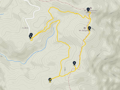
Mount Ōdaigahara Bear Incident Map
No incidents in this time range
No incidents in this time range
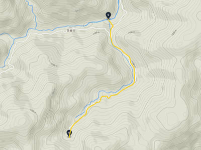
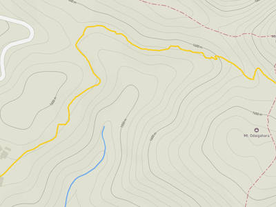
Recent trips through Mount Ōdaigahara
Nearby Areas

Comments (2)
2026年5月5日こどもの日の夜、23時頃大台ケ原ドライブウェイの細っい道を車で走ってましたら、熊が前方を横切って藪を登って行きました。
うちの奥さん助手席乗っていましたので2人で😱驚きました。初めて野生の熊見ました。
夜空の星がよく見えると言われてますので、大台ケ原のビジターセンター駐車場へ行きましたが、雲がかかってましたので、感動するほどの星空ではなかったです。残念。
上北山村西原に集中しすぎじゃないか。
Hiking in bear country
Safety picks and trail essentials, top-rated on Amazon and Rakuten.
Frequently Asked Questions About Bears in Mount Ōdaigahara
How many bear incidents have been recorded in Mount Ōdaigahara?
Mount Ōdaigahara has recorded 32 bear incidents in total, with 6 reported in the last 30 days and 1 in the last 7 days. These reports are compiled from official government sources, news outlets, and community submissions, and can be viewed on the incident map.
When and where was the latest bear incident in Mount Ōdaigahara?
The most recent bear sighting in Mount Ōdaigahara was on July 27, 2026 in Kamikitayama Kawai, Nara, where 1 Black Bear was reported. Detailed location and surrounding incidents are available on the incident map.
Where have bears appeared recently in Mount Ōdaigahara?
Recent bear sightings in Mount Ōdaigahara have been concentrated in Kamikitayama (15), Kamikitayama Kawai (9), Kawakami Shionoha (2). These areas have had multiple reports within the last 30 days.
Is bear activity increasing in Mount Ōdaigahara?
Activity has slowed. 1 incidents in the last 7 days, 6 in the last 30 days.
What type of bears are in Mount Ōdaigahara?
Mount Ōdaigahara is home to Asian black bears, which weigh up to 120kg and inhabit the mountains of Honshu and Shikoku. They are generally shy but can be dangerous when surprised or protecting cubs. Carry bear bells while hiking.