Location
Description
Around 5:00 a.m., while bamboo shoots were being gathered, attacked by a bear, with serious injuries to face and chest
Note: Official sources provide information in Japanese only. This description has been machine translated for your convenience.
Bear Type
Black Bear
Number of Bears
1
Provider Type
Official
Date & Time
Tuesday, June 21, 2016
Address
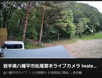
Hachimantai, Iwate
Coordinates
39.887611, 140.884209
Related Areas

Nearby places of interest
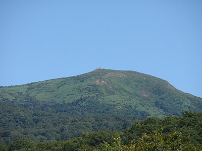
Mountain 818 m
Mt. Ofuka
Iwate ·2 incidents
Mountain 933 m
Genta Ke Gaku
源太ヶ岳
Iwate ·2 incidents
Mountain 1.6 km
Ue Kurayama
上倉山
Iwate ·3 incidents
Mountain 2.0 km
Nakakura Yama
中倉山
Iwate ·3 incidents
Mountain 2.0 km
Kenso Mori
嶮岨森
Akita ·2 incidents
Mountain 2.3 km
Shou Hon Yama
小畚山
Iwate ·2 incidents
Mountain 2.7 km
Marumori
丸森
Iwate ·3 incidents
Mountain 3.6 km
Shita Kurayama
下倉山
Iwate ·4 incidents
Comments (0)
No comments yet.
Hiking in bear country
Safety picks and trail essentials, top-rated on Amazon and Rakuten.