
สถานที่
คำอธิบาย
Encountered while ascending the left fork of the Yazawa-Kumakura River, a tributary of the Minami-Akishikawa (stream climbing). While resting, it attempted to descend from the slope to the stream bed. When I shouted “Hey! Hey!” to intimidate it, it flinched, noticed me, and ran off toward the ridge.
ประเภทหมี
หมีดำ
จำนวนหมี
1
ประเภทผู้ให้ข้อมูล
ชุมชน
วันที่และเวลา
วันศุกร์ที่ 3 กรกฎาคม 2569 เวลา 23:18
ที่อยู่
Tokyo Nango, Tokyo
พิกัด
35.693117, 139.127984
พื้นที่ที่เกี่ยวข้อง
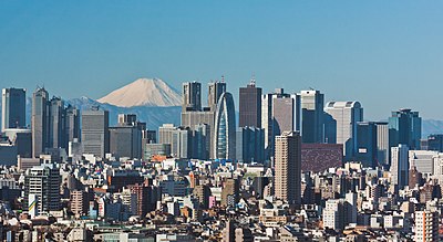
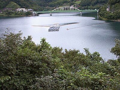
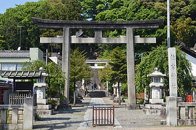
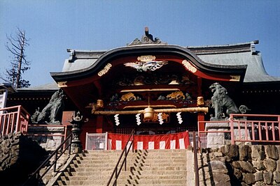
สถานที่ใกล้เคียง
ภูเขา 1.7 km
Kumakura Yama
熊倉山
โตเกียว ·54 เหตุการณ์
ภูเขา 2.3 km
Mt. Shoto
โตเกียว ·56 เหตุการณ์
ภูเขา 2.4 km
Mikunitouge
三国峠
โตเกียว ·58 เหตุการณ์
ภูเขา 2.4 km
Me Maru
茅丸
โตเกียว ·49 เหตุการณ์
ภูเขา 2.9 km
Mt. Rengyo
โตเกียว ·47 เหตุการณ์
ภูเขา 3.1 km
Matsuoi Yama
松生山
โตเกียว ·91 เหตุการณ์
ภูเขา 3.7 km
Mount Usuki
โตเกียว ·110 เหตุการณ์
ภูเขา 3.8 km
Mount Ichimichi
โตเกียว ·71 เหตุการณ์
ความคิดเห็น (0)
ยังไม่มีความคิดเห็น
อุปกรณ์เดินป่าในญี่ปุ่น
อุปกรณ์รับมือหมีและเดินป่า คะแนนสูงบน Amazon และ Rakuten
